
Today I will show you a bird’s eye view of Reverie and the surrounding area.
Let me first introduce to Bill Nixon who will be our pilot.

This is our plane, a 1948 Cessna.

Before we leave let’s check the engine.

Ok, here we go, lift off from Placerville Airport which is located on top of a hill but does not have a manned tower and so the whole crew needs to keep an eye out for animals and other planes.


Here is our international flight attendant for this flight, Anna Oort.

And here is the Co-pilot, me.

Let’s go and explore the area.
On your left is Placerville.

First some reference points.
If you drive up to Reverie from the Bay area or Sacramento you will turn onto Hwy 49 at Placerville and then turn onto Hwy 193 towards the south fork of the American river.
Then you cross the river and drive back up 193 towards Reverie.
Here is what that looks like from the air.


We have now arrived at Reverie and if you were driving you would turn right onto Spanish Flat Road (which can be seen all the way on the right in the image below and we are located in the tall trees in the right half of the hillside). At the bottom of the image you see 193 going on towards Georgetown.

And this is what Reverie looks like from the air.
If you play the video in HD and stop it towards the end you can clearly see our orchard on the right
Let’s head back to the airport before it gets dark.
Back over the American River towards Placerville.

And we have touchdown…
Remember how I said at take off to keep an eye out for animals? Well, here they are on your left

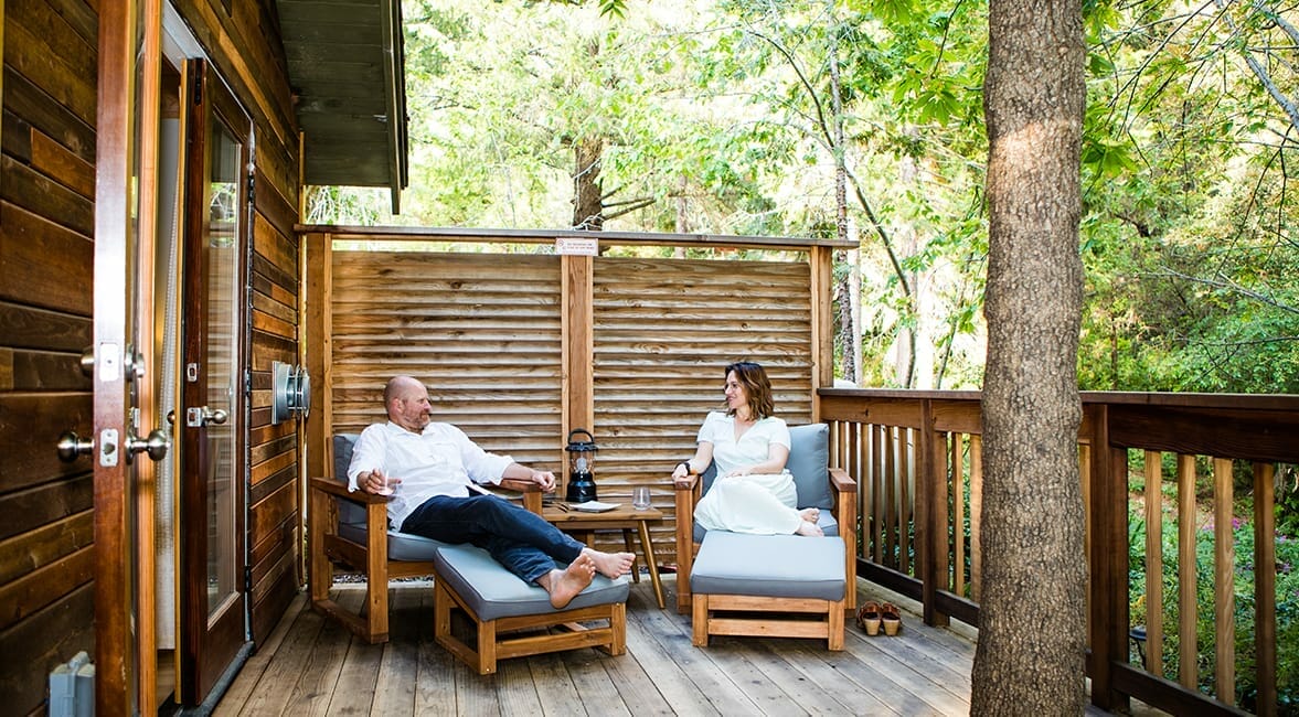
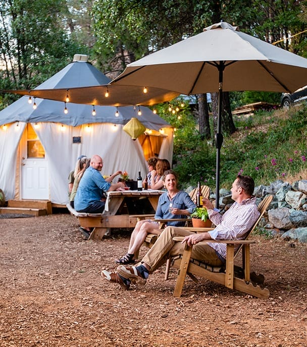
#reverieretreat
1 thought on “Come fly with me”
Fantastic. Looks like you had a great flight.